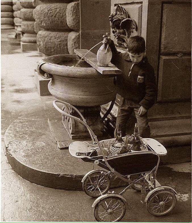
Alluvione 66, il bambino prende l’acqua dalla fontanella di Palazzo Pitti.
After the flood of 1966, a young boy fetches water from the fountain at Palazzo Pitti.
Alluvione 66, il bambino prende l’acqua dalla fontanella di Palazzo Pitti.
After the flood of 1966, a young boy fetches water from the fountain at Palazzo Pitti.


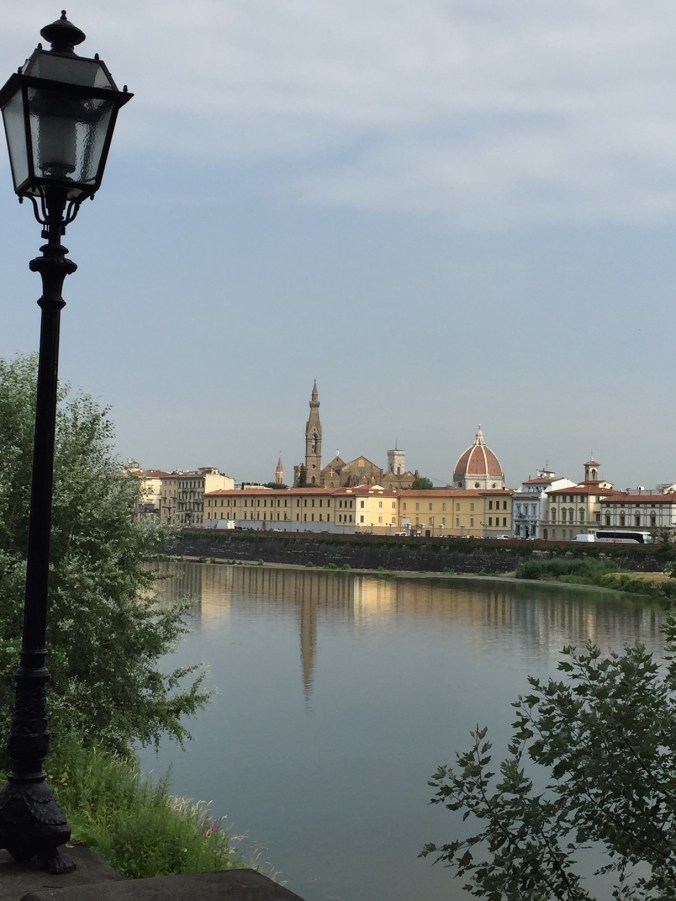
60 years ago, someone made this snapshot in Florence. I imagine it was hot then, and it is hot today. If you can’t get to “il mare“, you can always cool off in the Arno river!
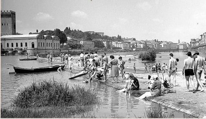
La spiaggia dei fiorentini fono agli anni 60-70. A sinistra la fabbrica dell’acqua smantellata negli anni 60.


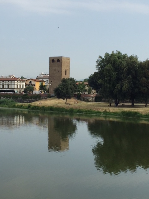
The tower above is an eastern gate to Florence, just north of the Arno river.

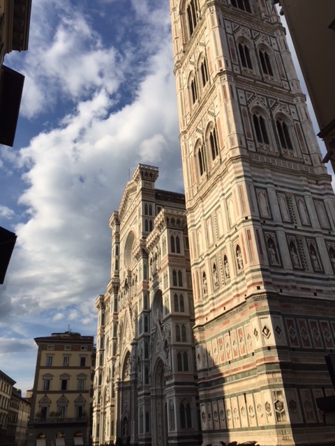
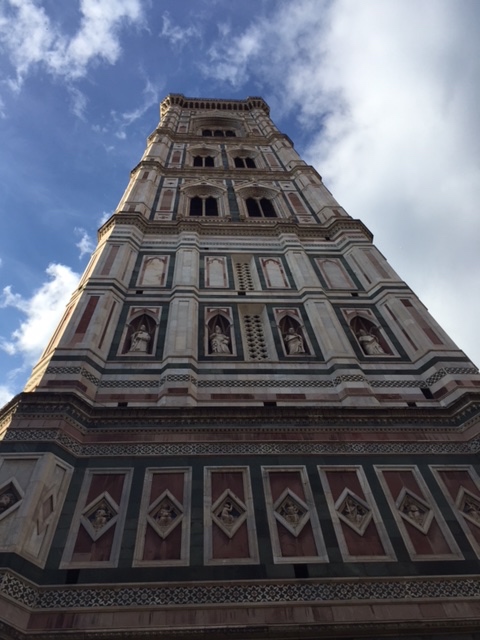
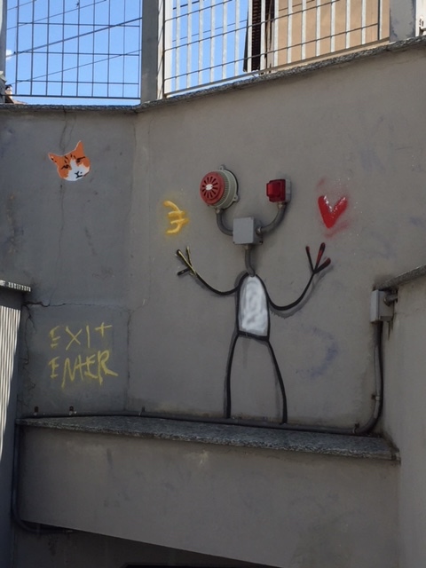
Treats from Gilli, Florence


If you were a bird and could fly over the city of Florence, you would notice that there is a broad roadway that, in conjunction with the Arno river, encircles it. This system of 4 to 6 lane highways are known as the Viali di Circonvallazione and it was constructed following the medieval walls that formerly encircled Florence.
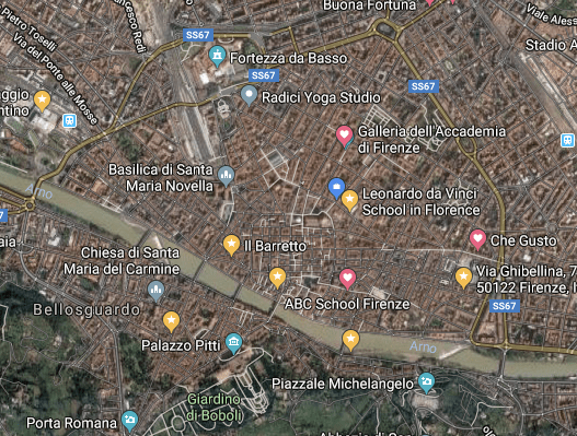
Pretending you are a bird, this is what you see as you fly high over the city. Look for the yellow lines that surround the city with the Arno as the southern border.
It might be easier to see it here:
Starting in 1865, the medieval walls were demolished in an attempt to modernize and make Florence look more like other European capitals (especially Paris). Giuseppe Poggi designed an extensive urban plan for the city which was to create a Florence that was at same time more grand and more functional.
Many large tree-lined avenues, surrounding the historic center, were constructed in emulation of the grand boulevards of Paris.
When Poggi et al tore down the medieval walls, they fortunately spared almost all of the ancient gates to the city. Large piazze were constructed near many of these gates, from which sprang wider and straighter roads. Many residential palazzi were built to house the federal bourgeoisie that ran the newly united country. I just happen to live on one of these leafy avenues now, and I send a silent but heartfelt thank you to Poggi up in heaven with Michelangelo and the rest of the artists I love.
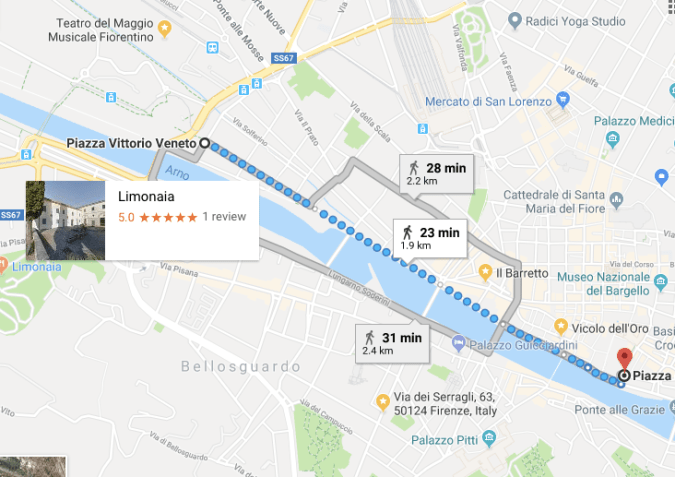
A tramway was planned for Florence in 1873. The trams made a circular route along Florence’s ring roads and provided transportation for the public. Line 19, for example, ran from Piazza dei Guidici near the Uffizi all the way along the Lungarni and ending at Piazza Vittorio Veneto on the east end of the Cascine. This Google map will show you how the line ran along the Arno.
Florence’s tram system was in operation until 1958.
Interestingly enough, Florence is in the midst of building a new electric tram system and all of us residents can’t wait until it is done and the construction sites are finally gone.
Crossing over the PONTE SAN NICCOLÒ today, I ran right into branches of this pretty rose-of-sharon shrub. I have one just like it in my garden in Denver. In Denver, this shrub doesn’t bloom until August. It obviously happens much sooner in Italy! Most things do!


Florence’s many bridges are fun to read about: http://www.aboutflorence.com/firenze/ponti-di-firenze/ponte-san-niccolo-firenze.html
Piazza Beccaria, many years ago.

Florence’s grand Piazza Beccaria was designed by the architect Giuseppe Poggi when Florence was made the Capital of the Kingdom of Italy.
It was originally called the Piazza alla Croce because one of the gates in the medieval walls that surrounded Florence, the Porta alla Croce, was located there and was left –more or less– intact. This is the gate you see in the vintage photo above.
In 1876, the piazza was renamed in honor of Cesare Bonesana Marchese di Beccaria. A number of concave palazzi were built to encircle the piazza. Just to the south stands the State Archives, where the Casa della Gioventu Italiana del Littorio previously stood.
In 2003 – 2004, a three-story underground parking garage was built under the square. I walk over it every time I’m headed to the great shopping district to the east. Two of the most beautiful modern (20th century) ville are located a stone’s throw away.
The Porta alla Croce was thankfully spared the destruction of the walls.
Poggi created a circular space in this piazza, with the ancient gate as a fulcrum, and a series of grand palazzi with concave facades. Moving south from the square, towards the Arno, the avenue had to bifurcate, leaving a plot of land in the center which is now occupied by the State Archives.

At the bifurcation of the Giovine Italia and Amendola avenues, the building that houses the Archivio di Stato faces the place where until 1977 the Italian Youth House of the Littorio of Florence stood. Before that there were the so-called “Pratoni della Zecca”, an area that Poggi had planned to magnify the view from the hill of San Miniato towards Piazza Beccaria and vice versa.
Between 2003 and 2004, the square was affected by important works for the construction of an underground car park, for a total of 205 parking spaces organized on three floors, designed by the architects Paolo di Nardo and Fabio Rossetti , who in parallel also intervened in the partial rearrangement of the square’s furnishings [1] .
On the side and at the center of the circular avenues that cut it in half, the square presents three green areas (previously four) crossed by a pedestrian path that passes under the Porta alla Croce ; for several years the green space to the east, opposite to the one facing the center , has been deformed and reduced to the point of completely losing the elegant elliptical design; that just north of the portal was, instead, paved. The green flower beds are kept in lawn. On the west side, on 11 September 2009, the Municipality of Florence, in memory of Teresa Sarti Strada , planted a red maple . [2] . On the opposite side, however, the design of the flowerbeds has some trees (including a tall magnolia ) and bushes.

You must be logged in to post a comment.